New Interactive Campus Map Provides 3D Models, Tours
Arcadia’s campus map has gone digital.
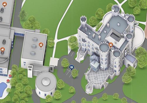
Arcadia University has launched an interactive campus map (www.arcadia.edu/map) that contains an aerial view of campus, featuring detailed 3D models of campus facilities, as well as descriptions of buildings and office locations. The mobile-friendly, printable map is built on top of Google Maps, allowing you to use familiar Google zoom, pan, and street view tools, as well as toggle between map and satellite views. In addition, you can search for directions to and from campus. Street-level photos of campus soon will be available, allowing you to remotely experience a first-person view of campus.
You can also view locations and models of the international centers run by The College of Global Studies, such as those in Barcelona, London, and Rome.
Created through a collaboration between the Office of University Communications and CampusBird, a 3D mapmaking service for colleges and universities, the new map offers tours, an exciting feature that provides overlays containing additional information to the map. A campus walking tour introduces you to prominent spots on campus, while other Arcadia departments can create their own campus tours. As an additional feature, overlays can be created for events such as Commencement and Move-in Day to assist with parking and traffic around campus.
